Southwest Virginia · Remote Sensing · UAP Research · Geospatial Dev
Niche Management LLC
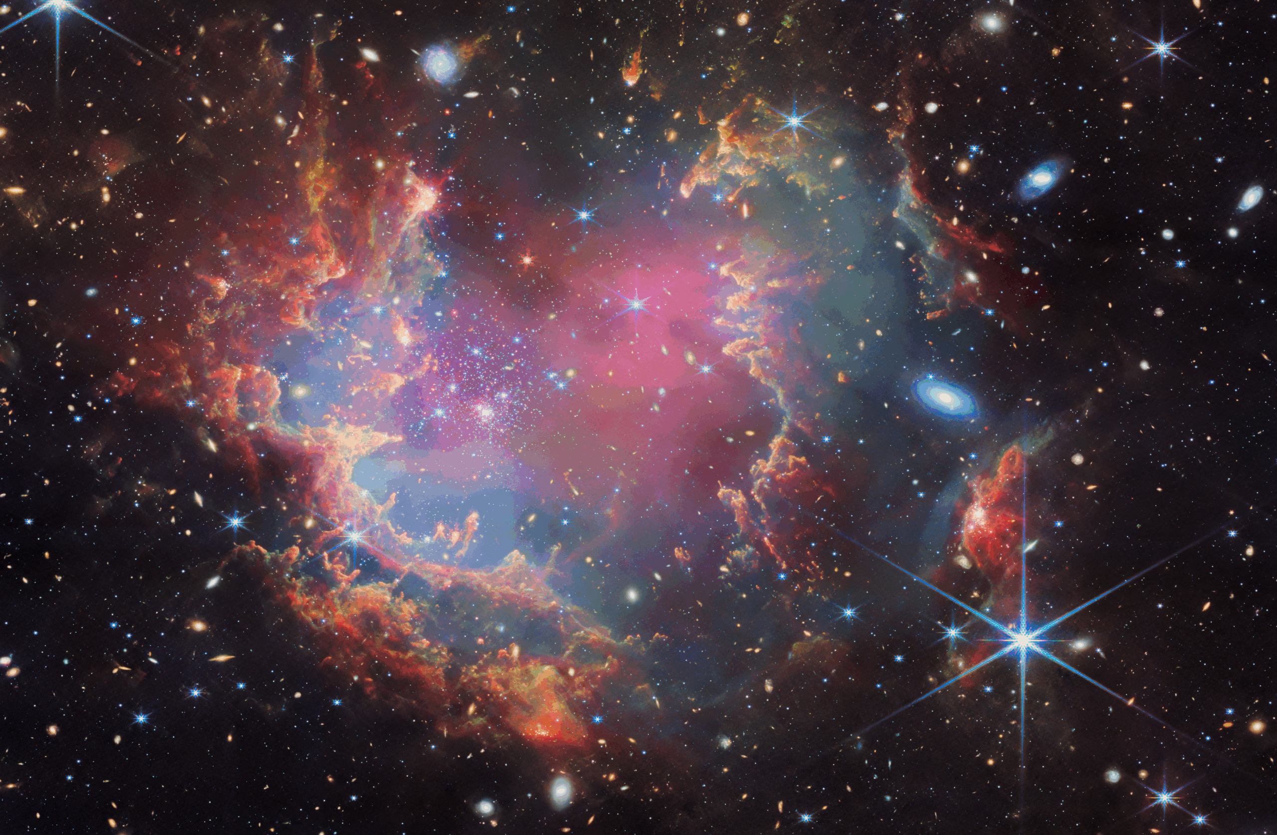
A Remote Sensing Company
“Using technology to investigate and understand the unknown”
What We Do
Three Core Pillars
Combining rigorous science, advanced technology, and full-stack development expertise to push the boundaries of what’s observable and knowable.
Pillar One
Remote Sensing & Geospatial Technology
Satellite, drone, LiDAR, thermal, and multispectral imagery analysis. GIS data collection, maintenance, and visualization. ESRI ecosystem development and live sensor feed integration.
Pillar Two
UAP Investigation & Research
Science-based anomaly detection, object tracking, and multi-sensor fusion. Sky monitoring, data logging, and rigorous research reporting. Evidence-driven methodology applied to unexplained aerial phenomena.
Pillar Three
Geospatial Full Stack Development
Web apps, native mobile apps, and custom ESRI solutions. Python & FME automation, .NET plugin development, and custom GIS toolboxes. From Experience Builder to full custom SDK implementations.

About the Founder
Glenn Sullivan, GISP
Founder and owner of Niche Management LLC, based in Southwest Virginia. A Geographic Information Systems Professional (GISP) with deep expertise in remote sensing, geospatial analysis, and full-stack GIS application development.
With experience spanning the ESRI ecosystem, Python automation, FME workflows, and mobile app development, Glenn brings enterprise-grade geospatial solutions to clients of all sizes — while pursuing cutting-edge research into unexplained aerial phenomena using the same rigorous scientific methodology.

Services Offered
What We Can Do For You
Available remotely nationwide or locally in Southwest Virginia.
GIS Data Collection & Analysis
Field collection, maintenance, spatial analysis, and visualization of geospatial datasets.
Imagery Analysis & GeoAI
Object detection, pixel classification, change detection, and AI-driven imagery workflows.
Geospatial Web Development
ESRI Experience Builder, Hub Sites, Dashboards, Instant Apps, and custom JS SDK apps.
Mobile App Development
Native and cross-platform geospatial mobile applications for field data collection and visualization.
Python & FME Automation
Scripting, ETL pipelines, ESRI Model Builder, and custom toolbox development.
ESRI Plugin Development
Custom ArcGIS Pro plugins and tools using the ESRI .NET SDK.
⚙ Coming Soon
Expanding Capabilities
Equipment and services being actively pursued. Follow along as the lab grows.
Drone / UAV
Aerial imaging and sensor deployment platform
Field Workstation
High-performance mobile computing for field ops
3D Printer
Custom sensor mounts, housings, and prototyping
Sky360 / UAPDA
360° sky monitoring and object detection system
Telescopes
Optical and multispectral sky observation
LiDAR Camera
3D point cloud capture for terrain and object mapping
🔮 Future Pillar Four
Advanced Physics Research
Gravity sensing, electromagnetic spectrum analysis, zero-point energy exploration, and quantum instrumentation. The frontier of measurable reality — a long-term research aspiration.
Covering every band of the EM spectrum: γ-rays · X-rays · UV · Optical · Infrared · Microwave · Radio
Support the Mission
Help Us Grow the Lab
Every contribution goes directly toward purchasing new sensors, equipment, and research tools. Help us expand our capabilities and push the boundaries of what’s observable.
Support on Ko-fi